Land Surveying & Mapping
North by Northeast
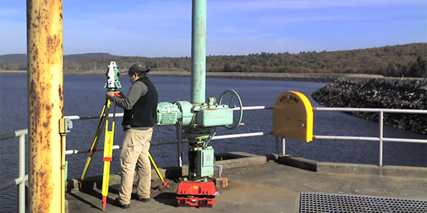
is a Glastonbury, Connecticut-based survey and mapping company. We specialize in land and hydrographic surveying, structural monitoring, mapping, and laser scanning.
Professionally licensed in Connecticut, Massachusetts, and New York.
Hydrographic Surveys
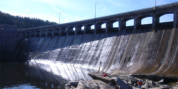
Our Hydrographic data system is portable and deployable on small rowboats as well as larger more stable craft for work on larger water bodies. We … [Read More...]
Laser Scanning
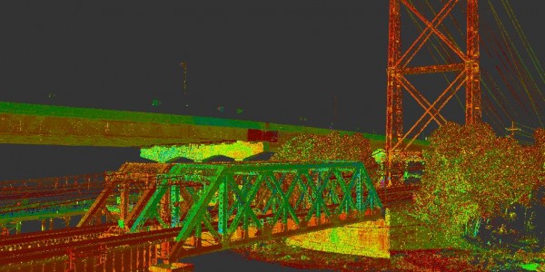
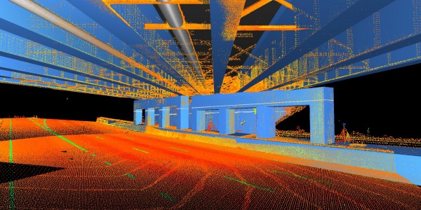
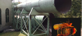
We have acquired a broad range of scanning experience using the Leica Scanning Products. It includes steel structures for modeling … [Read More...]
Land Surveying
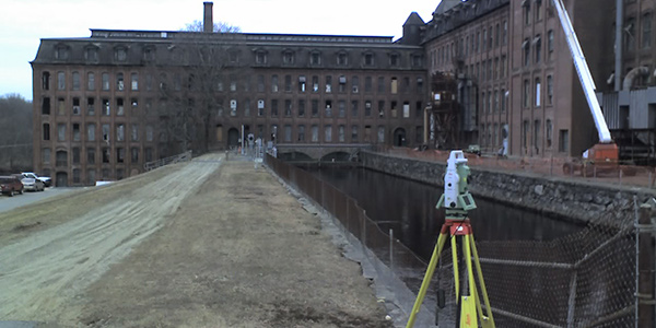
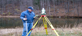
Webster Bank wanted to fence off a city lot for employee parking. The boundary survey involved extensive land record research, … [Read More...]